3D Laser Scan surveys can be supplied when a large amount of survey information is required.
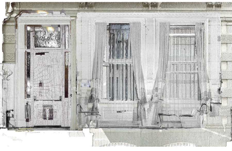
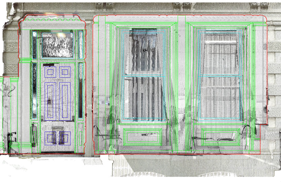
3D Laser Scan surveys can be supplied when a large amount of survey information is required. The laser scanner rapidly captures millions of co-ordinated points (a ‘point cloud’) and the reflectivity of the surfaces surveyed.
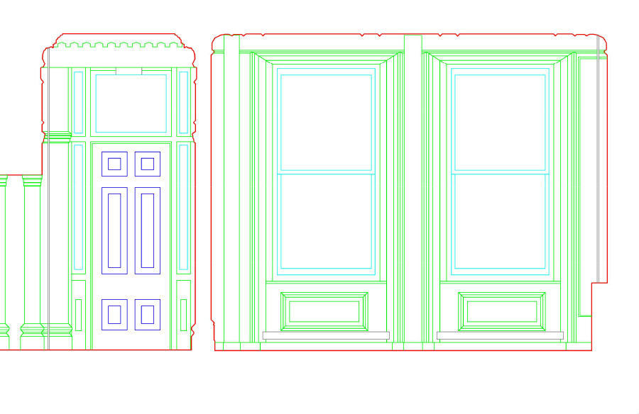
This information is then converted to a photo-realistic 3D model. Standard 2D drawings such as plans, elevations and sections can then be extracted from the model as required.
Laser scanning is particularly useful when it’s desirable to reduce on-site survey time, or when a full 3D Building Model is required as with Building Information Modelling (BIM) and Facility Management.
Planning applications, project management and technical services to the construction industry.